Hard to reach areas are no obstacle for drones, and that means conservation projects, tracking animals and protecting endangered species can all be achieved by UAVs that gather data, take photos and video.
Around the world drones have added great value to the work of scientists. The ability of UAV pilots to get unmanned aircraft into otherwise inaccessible habitats has enabled a range of studies to be completed.
Take a team from Glasgow, UK, that joined other biologists in Canada to track the migration habits of Caribou (a type of reindeer) across varied landscapes, reported by National Geographic.
Getting conventional land-based vehicles close enough to film was impossible. Drones, however, could fly high enough above the animals to allow them to roam free, unaware of the camera capturing the migration patterns of individual Caribou within the herd.
The ability of drones to capture specific images of individual herd leaders meant the team could follow trends and gain a deeper understand of their behaviour.
The research will be valuable in future years, understanding why certain paths are taken and enabling environmentalists to help the animals take safer routes and potentially protect areas of land from damage.
Surveying UK Hedgerows By Drone
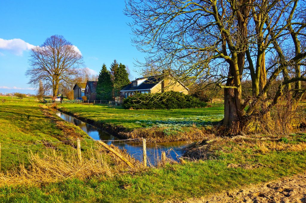
Back home, completing research about UK hedgerows throws up a number of issues. The information is necessary to calculate numbers where animals are endangered, discover whether protected species still make certain areas their home, and to assess whether planting has been damaged or destroyed following storms or drought.
Accessing some parts of the countryside has always been difficult. Permission to drive or walk over land may prove tricky. Successfully negotiating challenging terrain can also make getting to certain locations awkward.
Rivers, wetlands, rocky areas and planted fields will all hinder the efforts of those seeking to survey birds, animals and planting that can be found hedgerows.
There’s also the time factor. Trekking miles along unforgiving hawthorn hedgerows is not a quick job. Manoeuvring through fields, over walls and gates, carrying cameras and recording equipment could take days if not weeks.
Deploy a drone, and surveying a few miles of bustling wildlife is achievable in several hours. Photos, video and thermal images can be recorded on the UAV’s on-board storage discs, or transmitted directly to an operator on the ground.
From one or more vantage points a UAV can be directed along the most haphazard borders. The result is quicker reporting. Government agencies like Natural England, farmers and engineering companies (pipe laying) who need information can get the data they need from skilled drone operators.
Crucially, nature is left largely undisturbed but for the hum of a drone up above.
As ever, it is essential that even in remote and isolated areas drone regulations are adhered to, including getting permission to fly from any landowners that might be affected.
Coverdrone can support commercial drone operators to ensure they enjoy comprehensive insurance packages for all types of conservation work. We also offer an affordable per-day option for both professional drone pilots and recreational drone pilots who have a passion for rural work.