Geographic information systems (GIS), have many different applications across various industries such as resource management, development planning, scientific research, disaster management, market research and more. GIS involves the gathering of data, most of which has a geographic component, into maps so that it can be visualised, analysed and better understood. The insights that GIS enables can help people to understand patterns, monitor and forecast changes and make better decisions.
Typically, GIS data is collected through satellites, manned aircraft or terrestrial land surveying methods. By using satellites and manned aircraft, you can cover large areas quickly, but then methods can be expensive and only offer limited detail. On the other hand, terrestrial data collection offers a high level of detail, but it is time-consuming.
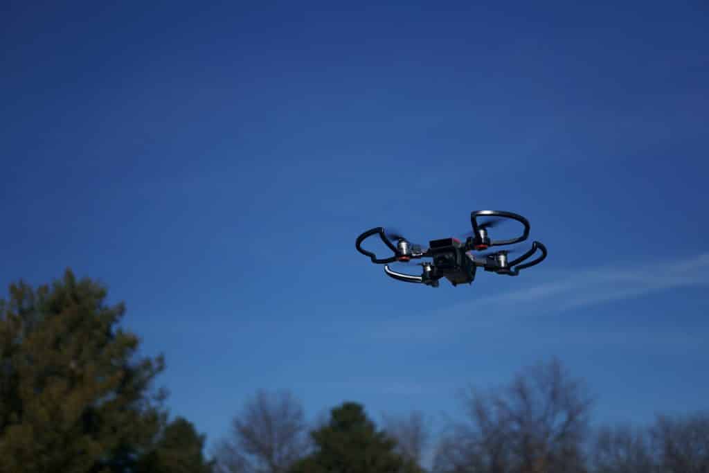
However, the development of drones has provided a new option. Unmanned aerial vehicles provide something of a middle ground between the two traditional sources of GIS data.
Faster Data Collection
Drones enable a much faster turnaround time as compared to traditional GIS data collection methods. Using UAV’s can often provide near real-time imagery, which can be crucial for applications such as disaster management. With drones, it is relatively simple to launch a drone to collect data whenever it is needed however with a manned aircraft, unless you have an on-call fleet, this process typically takes much longer. The fast data collection time means that the information collected is more current, which often means it’s more useful. This increased speed is the reason that the shipping industry is so interested in drone technology, as using drones could reduce shipping times from days to hours or even minutes.
Cheaper Data Collection
Drones are relatively affordable upfront and can reduce expenses long term also. Rather than having to rely on third parties for data, GIS professionals can purchase their own drones, which they can use any time. The reduction in the amount of time it takes to collect data also means reduced costs, as does the fact that smaller teams can collect the same amount of data using unmanned vehicles.
Higher-Quality Imagery
Due to the quickness and low cost of GIS data collection using drones doesn’t meant you have to sacrifice quality. In many cases, the imagery collected using drones is of a higher quality than what can be collected using manned aircraft or satellites. UAV’s can fly much lower to the ground than manned aircraft which enables drones to capture extremely high-quality images.
More Power In The Hands Of The User
With other methods of collecting GIS data, researchers have to rely on third parties. With drones, however, the researches themselves can pilot a drone and collect their data, providing they have the proper license. This puts the power in the hands of the researchers and gives them much more control over how their data is collected. Rather than having to rely on older or generic imagery, researches can gather data whenever they need to and to the exact specifications they deem best.
Reduced Environmental Impact
Using drones may also be more environmentally friendly than other data gathering methods. Drones avoid the drilling, material sampling and other activities involved in terrestrial land surveying that may disturb the natural environment.
Coverdrone are pleased to see that drones are transforming a wide range of industries and applications, and GIS is one example of that.