If you’ve been on site lately, you’ll know how embedded drones have become in day-to-day operations. They’re inspecting bridges, scanning highways, checking structures, and mapping assets at every stage of a project, from initial surveys through to maintenance and lifecycle assessment.
The advantages are well understood: faster data capture, higher accuracy, and safer working conditions. But with capability comes responsibility; every flight carries operational, technical, and insurance considerations that can’t be overlooked. For any commercial operator, having appropriate insurance isn’t optional; it’s a legal requirement under most aviation regulations.
Drones Are Setting a New Standard in Surveying
Accuracy and efficiency sit at the heart of any survey, and drones are helping teams achieve both at scale.
A single flight can collect high-resolution data across wide or complex environments, producing 2D orthomosaics and 3D surface models that support detailed analysis. Expectations have shifted: surveys that once took days can now be delivered in hours, with measurable gains in cost, safety, and carbon footprint.
For clients and insurers, the benefit goes beyond productivity. Consistent, verifiable datasets create a digital audit trail that supports planning, compliance, and ongoing maintenance, making risk easier to quantify and manage across an asset’s lifecycle.
Improving Visibility Across Infrastructure Projects
Infrastructure projects rely on coordination between multiple teams and disciplines. Drone imagery ensures everyone works from the same source of truth, whether that’s progress reporting, volumetric measurement, or condition assessment.
Routine flight programmes provide visual evidence of each stage of work, capturing any changes or emerging issues early. That level of transparency strengthens communication, reduces the likelihood of disputes, and supports insurance documentation when incidents occur.
For insurers, this visual record is invaluable, enabling faster incident verification, more accurate assessment, and smoother claim resolution. All of these are saving time and cost for all parties involved.
Safety, Compliance, and Risk Management
Drones have transformed how inspections are carried out in locations that would once have been high-risk or inaccessible.
Operators can now inspect bridges, towers, tunnels, and energy assets without exposing personnel to danger. Tasks that once required scaffolding or rope access can often be completed remotely in minutes.
Specialist platforms designed for confined or enclosed spaces, such as silos, tanks, and underground utilities, are now standard equipment in many inspection programmes. These systems, often fitted with protective cages and lighting, allow teams to capture detailed data without full shutdowns or confined-space entry.
Beyond Visual Line of Sight (BVLOS) operations are extending that capability even further, enabling the monitoring of long linear assets like pipelines, rail corridors, and power networks with minimal ground presence.
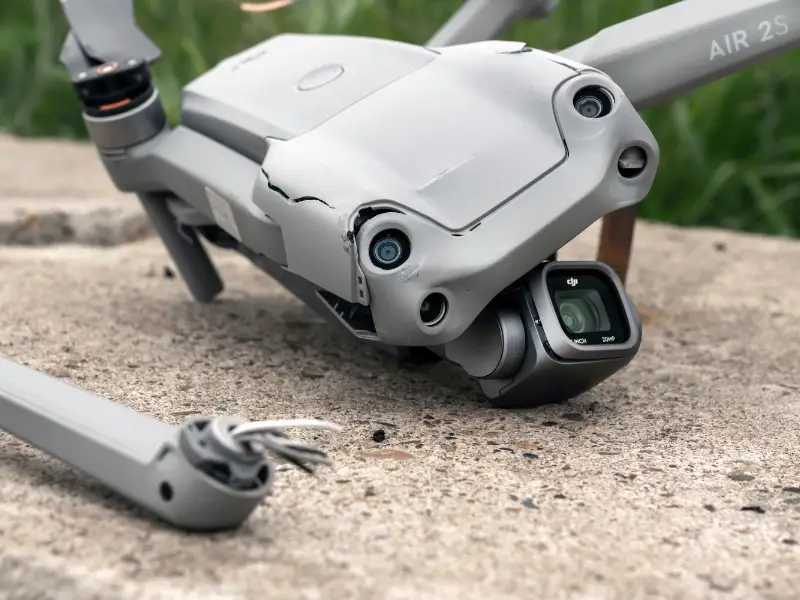
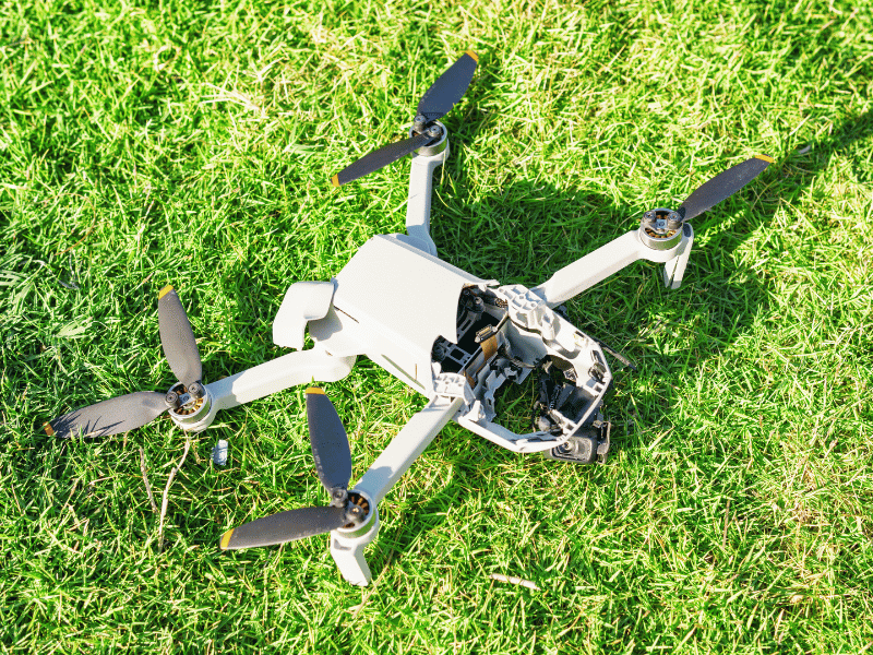
Each environment presents its own set of risks. Equipment failure or control loss can result in downtime, damage, or liability, especially around critical national infrastructure. That’s why comprehensive insurance isn’t a tick-box exercise; it’s a core part of risk management and client assurance.
Drone imagery and flight logs also underpin audit trails for health, safety, and environmental compliance. When an incident does occur, those records often provide the decisive evidence needed for both investigation and claim support.
Drone Insurance as an Operational Necessity
Professional drone operations are now mission-critical within many infrastructure and surveying frameworks — and they fall squarely under aviation law. That means commercial insurance isn’t just best practice; it’s a legal requirement.
At Coverdrone, we provide cover that reflects those professional standards, including:
- Public/Aviation Liability for third-party damage or injury
- Equipment cover for drones, payloads, and sensors
- Worldwide protection, including multi-site and cross-border work
- Flexible policies to suit independent surveyors and enterprise fleets alike
A single incident – from equipment loss to a collision – can carry serious financial and/or legal consequences. The right insurance allows operators to meet contractual obligations, maintain professionalism, and continue delivering accurate data without interruption.
Confidence in Every Flight
Surveying and infrastructure work depend on precision, reliability, and trust. Drones have become central to achieving that, and the right insurance ensures those operations can continue safely and sustainably.
Whether you’re monitoring a transport corridor, inspecting power infrastructure, or mapping environmental assets, Coverdrone provides protection built around the realities of professional flight.