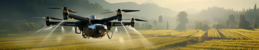


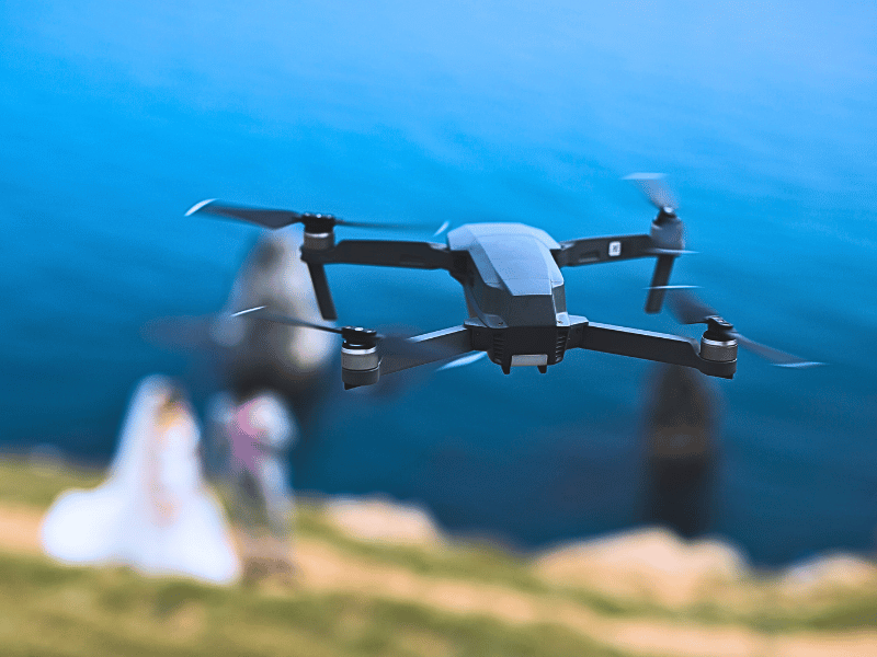
A drone can be a significant investment, especially once you add batteries, controllers, propellers, cases, cameras and other accessories. It
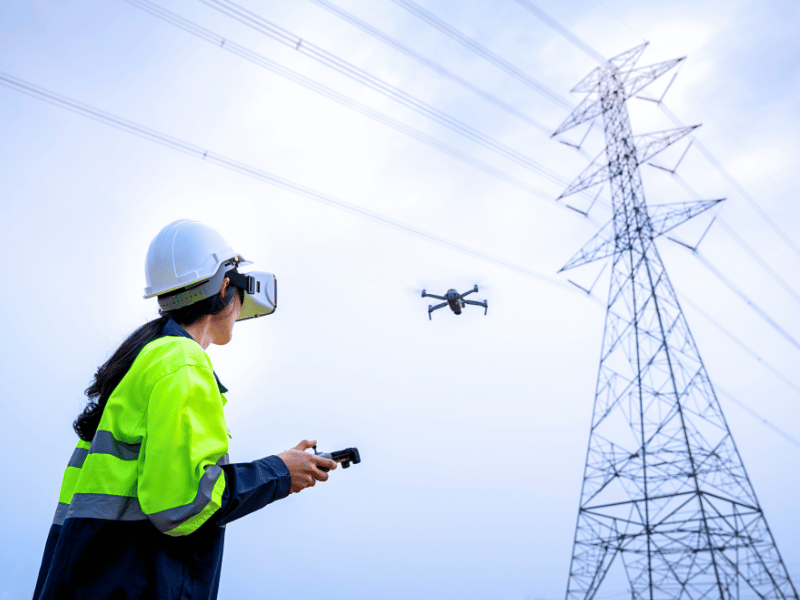
For commercial drone operators planning BVLOS (Beyond Visual Line of Sight), Atypical Air Environment or other complex Specific Category work,
If you’re being paid for drone photography work in the UK or EU, you will need Drone Insurance that includes