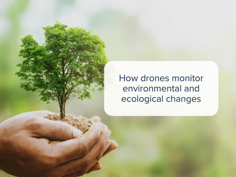
In recent years, drones have emerged as one of the versatile and powerful tools for monitoring environmental and ecological changes. From tracking wildlife populations to assessing the impacts of deforestation, drones have transformed how we can collect data and make informed decisions to preserve our planet and its delicate ecosystems.
Here we take a look at some of the ways drone are currently being used to monitor environmental and ecological changes.
Aerial insights for monitoring biodiversity
Drones have taken the study of biodiversity to completely new heights (pardon the pun here!) Traditional methods of monitoring wildlife populations often required extensive human involvement which often disturbed the natural habitats of animals.
With drones, researchers can now conduct non-invasive studies of various species, gaining a better understanding of their behaviours, population sizes and migratory patterns. This allows them to gather rich data to help develop conservation strategies to protect these species.
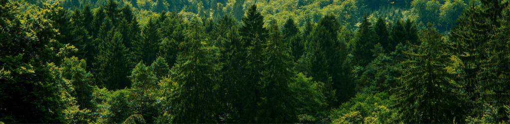
Mapping habitats and ecosystems
Understanding the changing landscape of ecosystems is vital for effective conservation efforts. Drones equipped with high-resolution cameras and LiDAR (Light Detection and Ranging) technology can create detailed maps and 3D models of natural habitats. This information aids scientists in tracking land-use changes, deforestation and habitat degradation.
Drones are particularly useful in remote and hard-to-reach areas, as they allow researchers to easily monitor forests, wetlands, and other ecosystems that were previously difficult to access.
Through regular mapping of these areas, scientists can identify trends and potential threats, ensuring more timely intervention.
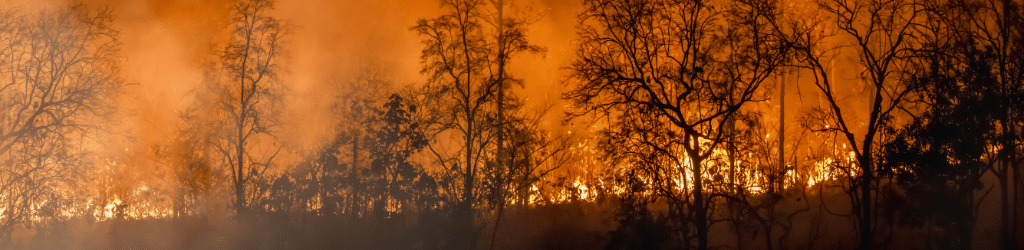
Early detection of natural disasters
Environmental monitoring using drones isn’t just restricted to studying wildlife and ecosystems. Drone also play a crucial role in disaster management, especially in the early detection and assessment of natural disasters.
From wildfires to hurricanes, drones equipped with highly specialised sensors can quickly and safely survey areas affected by a disaster, assessing damage and identifying potential risks for responders on the ground.
During wildfires, drones equipped with thermal imaging can pinpoint the hotspots and guide firefighting efforts. Similarly, after a hurricane, drones can quickly assess infrastructure damage, flooding, and the overall impact to an area. This real-time data helps in allocating resources effectively and aiding recovery efforts.
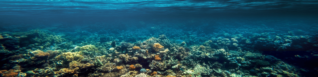
Water quality and pollution monitoring
Maintaining water quality is a pressing concern for ecological sustainability. Drones equipped with sensors can monitor water bodies, identifying pollution sources, tracking changes in water temperature, and measuring the level of pollutants. This data helps to identify the causes of water pollution so preventative measures can be put into place.
In coastal regions, drones can monitor coral reefs, which are sensitive indicators of ocean health. By tracking changes in coral cover, researchers can identify areas that need protection and assess the overall health of marine ecosystems.