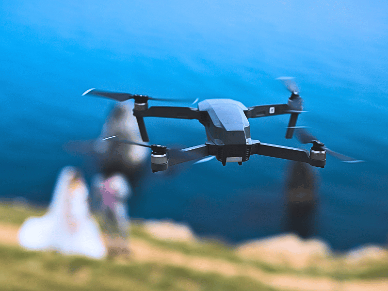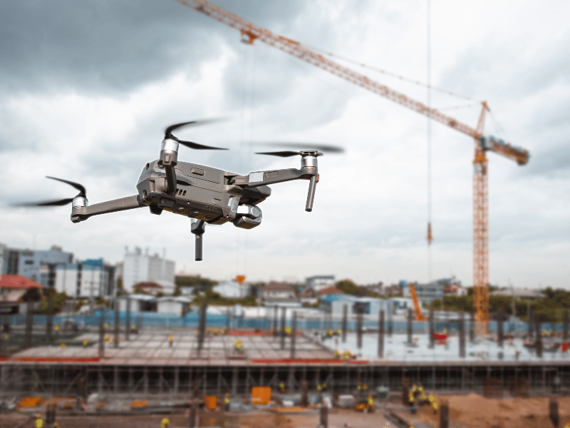
Drones are continually proving to be powerful commercial tools, simultaneously providing adopters with leaps in efficiency and safety, with the surveying and mapping industry being no exception. With their ability to capture data from above, drones have been successfully integrated into surveying workflows to perform land surveys, photogrammetry, 3D mapping, topographic surveying and much more.
Within this article, we have put together some useful information to help you learn everything you need to know when it comes to getting started with drone surveying – whether you’re an experienced surveyor looking to expand your toolkit, or you’re a drone enthusiast who wants to know more ways to use their drone!
What Is A Drone Survey?
Surveying is the precise science of determining the positions of, and the distances between, points in 2D and 3D space. Surveys provide critical information that enables informed decision-making ranging from construction site planning, to design and upkeep of infrastructure. A drone survey is simply a survey conducted overhead using a drone.
Why Is Using A Drone For Surveying Beneficial?
Drones excel at rapidly acquiring data from points inaccessible to humans. When surveying challenging terrain, drones make it no longer necessary for human operators to physically access and measure points in hazardous or difficult-to-reach locations. Additionally, while traditional surveying methods require meticulous measurement, preparation, and planning, drones can capture comparable data in dramatically shorter timeframes.
What Data Can Be Achieved With Drone Surveying?
- 2D Orthomosaic Map – Surveying software can stitch together hundreds, or thousands of digital photos captured by your drone, and produce high quality 2D Orthomosaic maps.
- 3D Orthomosaic Map – Large numbers of digital photos of your surveying site can be compiled into a 3D orthomosaic map and can provide actionable topographic data.
- 3D Models – Generate 3D models of targets in your surveying site for quick comparison with BIM.
- Thermal Map – Survey with a thermal camera and quickly identify targets with abnormal heat signatures.
- LIDAR Point Cloud – Equip your drone with a LiDAR camera to produce a high-density point cloud.
- Multispectral Map – Capture multispectral data from beyond the visible light spectrum to give insight into agriculture and crop management.
Coverdrone’s Commercial Drone Insurance Policy
Coverdrone’s commercial drone insurance policy would cover all drone surveyors’ requirements with a variety of policy benefits such as: cover for ‘high-risk’ premises, reinstatement of data cover and flexible periods of cover. If you have any questions in regards to our policies, please do not hesitate to contact a member of our team.