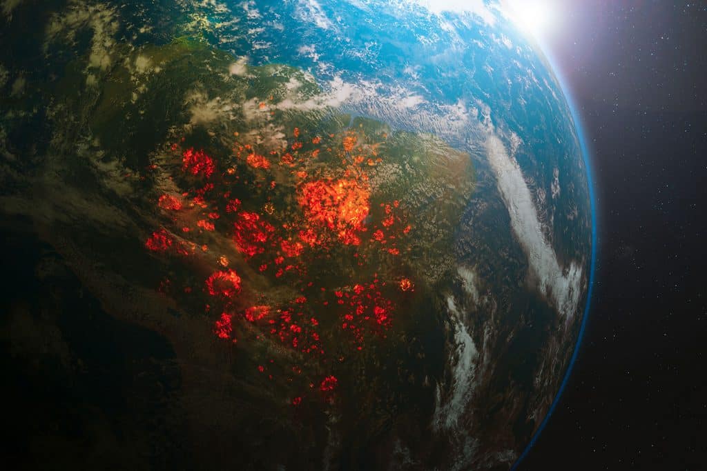
This month, images of the burning Amazon rainforest have been shared all over the news around the world. The fires, that are believed to have been set deliberately by cattle ranchers and loggers, have now spun out of control, leading to unprecedented destruction and dire warnings from environmentalists that the crisis will lead to the loss of a precious ecosystem and an acceleration of climate change.
Within the past technology has helped some communities prevent and tackle wildfires more efficiently, offering hope to communities who are threatened every year by the prospect of their homes and livelihoods being destroyed by an out-of-control fire.
An example of this was back in November 2018, when northern California was reeling from the aftermath of the most destructive wildfire in the state’s history. The Camp Fire had displaced thousands from their homes, almost 100 people were killed or missing, and residents were desperate to know when they could return and what was left of their communities and possessions.
Local authorities called in Dr Gregory Crutsinger, a drone data consultant who usually works in agriculture mapping, to help them with the aftermath. He says:
“You program the drone to take lots of photos, and then you stich those photos into maps, and then get those map layers to the agencies”.
16 drone teams, led by the local sheriff’s office, operated aircraft to take pictures of the damaged areas. A runner drove back to San Francisco with a hard drive containing the images and took it to the software company DroneDeploy, where a team worked through the night to stitch together the images to create a functional map.
“We mapped half a terabyte of information and we had it turned around in 48 hours, and publicly available the day after”, he says.
The maps let residents see what had happened to their homes, as well as helping insurance companies access the damage using super high-resolution images, without having to send people into wildfire-stricken areas which were still smoke-filled and treacherous. California is a state prone to wildfires, but Silicon Valley’s proximity to these northern California fires has helped it deploy cutting-edge technology. Now Dr Crutsinger gets calls from all over the world from people looking for help, most recently from South America.
“I think it’s the right tool for the right job,” he says. “Drones are easy. They’re easy to buy, compared to bringing in helicopters, and unmanned aircraft and things”.
The successful utilisation of drones within this situation proves that they are fully equipped to help tackle natural disasters such as the burning Amazon rainforest. Do you think that drones can help with such devastating situations? Let us know your thoughts via our social media channels!