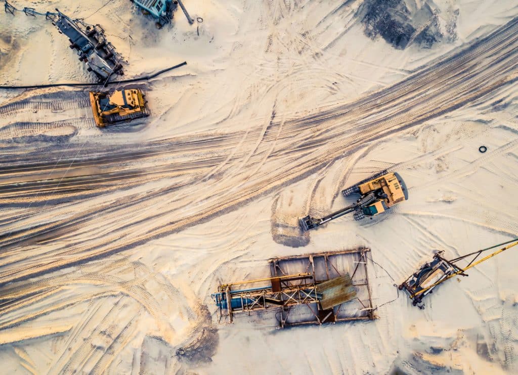
A Canadian Mining organisation, Westmoreland Mining Holdings LLC’s Estevan, has recently shared their experience of adopting drones within their day to day activities, commenting that the technology has made mining operations more efficient.
Mohsin Hashmi, Junior Mining Engineer at Westmoreland, has been working with drones for just over a year, and has quickly adapted to the usability of drones. The organisation currently run two different types of drones – the traditional quadcopter and hybrid.
He commented:
“The difference between quad copters and hybrid drones is that quad copters are your recreational drones that you can utilise in the mining context to get videos of areas of concern, which, in the past, people had to go on foot to capture. Right now, with drone technology, we can see dragline issues; rather than a person climbing up, they can view the dragline problems, structural issues. We can monitor environmental progress at a micro scale.
“With the hybrid done cutting edge technology that we have, it is called vertical take-off and landing technology, it’s the second type of drone that we use. This is for a larger coverage of area. We are talking about 700 or 800 hectares. In the past, traditional surveying would have taken a week to capture production data, stockpile data, reclamation data, especially about our sustainability objectives.”
Benefits of VTOL Technology
Planning and designing for mine roads and pits can take weeks, but due to the WingtraOne’s vertical take-off and landing hybrid unit, the drone captures hundreds of hectares of data with high accuracy and resolution within just twenty minutes.
Furthermore, production, stockpiles, reclamation, design, and other aspects have benefited from drone use. Using the VTOL technology at Westmoreland, Hashmi is able to go out and survey stockpiles, survey pits, capture photos and process software by utilising static satellite data to geo-reference each photo taken.
Hashmi said:
“We use photogrammetry technology to develop 3-D models. You take a tonne of pictures from the drone, but you can stitch those photos together with processing software’s, where they can make a 3-D model of the area that you’re working in.”
This then feeds into their analytics to calculate how much coal they have within the pit, the road width, the amount of coal the dragline has uncovered and the amount of reclamation they have done to meet their sustainability objectives.
The mines adopted drone technology at an early stage back in 2014. However, over the past two years, the organisation has adopted the VTOL technology to make drone usage more accurate and safer, to cover vast areas and to get high quality data to feed operations.
Traditional Quadcopters
The conventional drone that we all know and love is used by all departments within the mine, from environment to technical to dragline maintenance and inspection. The accuracy of predicting the inventory of coal that they have is now at a centimetre, and the resolution of the models that help with planning is stronger due to the drone’s high resolution camera. The major benefit is the cost cuts that the organisation has seen, not just because they are more efficient, but due to the affordability in comparison to the traditional forms of surveying.
If you operate within the mining industry and are looking for a commercial drone insurance policy, you can obtain a quote via our easy to use online system, or by contacting a member of the team.