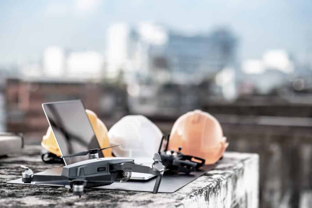
In the unfortunate event of a natural disaster, first responders need to move quickly and efficiently in order to search for survivors. To support search and rescue efforts, a group of innovators in Europe has successfully utilised the power of drones, AI and smartphones, all in one unique combination. The idea is to use one single drone as a moving cellular base station, which can do large sweeps over disaster areas and locate survivors using signals from their phones. AI helps the drone methodically survey the area and even estimate the path of survivors who are moving.
SARDO
The European team built the platform, called Search-And-Rescue DrOne based solution (SARDO), using off-the-shelf hardware, and tested in in field experiments and simulations. Antonio Albanese, a Research Associate at NEC Laboratories Europe GmbH explains:
“We built SARDO to provide first responders with an all-in-one victims localisation system capable of working in the aftermath of a disaster without existing network infrastructure support.”
The key point is that a natural disaster may knock out cell towers along with other infrastructure. SARDO, which is equipped with a light-weight cellular base station, is a mobile solution that could be implemented regardless of what infrastructure remains after a natural disaster. In order to detect and map out the locations of victims, SARDO performs time-of-flight measurements (using the timing of signals emitted by the users’ phones to estimate distance).
A machine learning algorithm is then applied to the time-of-flight measurements to calculate the positions of victims. The algorithm compensates for when signals are blocked by rubble. If a victim is on the move in the wake of a disaster, a second machine learning algorithm, tasked with estimating the person’s trajectory based on their current movement, kicks in – potentially helping first responders locate the person sooner.
After sweeping an area, the drone is then programmed to automatically manoeuvre closer to the position of a suspected victim to retrieve more accurate distance measurements. If too many errors are interfering with the drone’s ability to locate victims, it’s programmed to enlarge the scanning area.
Within their study, Albanese and his colleagues tested SARDO in several field experiments without rubble and used simulations to test the approach in a scenario where rubble interfered with some signals. In the field experiments, the drone was able to pinpoint the location of missing people to within a few tens of meters, requiring approximately three minutes to locate each victim.
The group is consulting the laboratory’s business experts on the possibility of commercialising this technology. Albanese comments: There is interest, especially from the public safety divisions, but still no financial decision has been taken”. In the meantime, SARDO may undergo further advances. “We plan to extend SARDO to emergency indoor localisation so it is capable of working in any emergency scenario where buildings might not be accessible” says Albanese.
Coverdrone’s Commercial Drone Insurance Policy
Coverdrone’s commercial drone insurance policy will cover any type of commercial operation, including types similar to the example provided above. If you would like to obtain further information or have any questions, please do not hesitate to contact a member of the team.
News Source: https://spectrum.ieee.org/