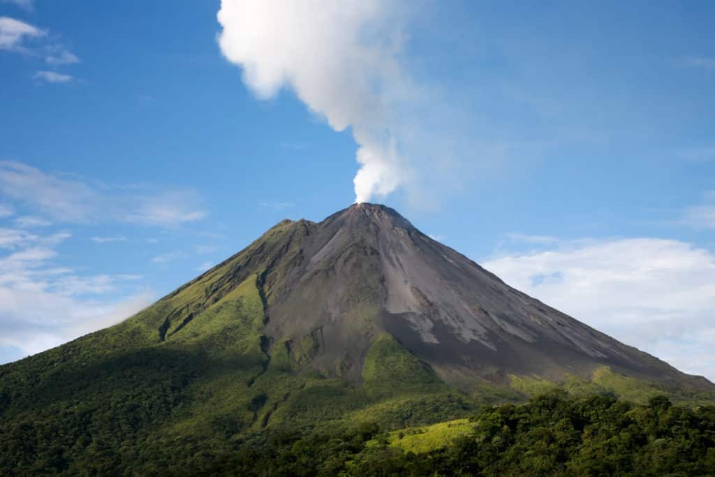
Specially adapted drones, developed by an international team involving scientists from the University of Cambridge, are transforming how we forecast eruptions by allowing close-range measurements of previously inaccessible and hazardous volcanoes.
The drones could help local communities monitor nearby volcanoes and forecast future eruptions. Their measurements could also tell us more about the most inaccessible, highly active volcanoes on the planet and how volcanoes contribute to the global carbon cycle.
The team, involving 20 researchers from seven countries, used long-range drones kitted out with a range of lightweight sensors to study the Manam volcano, one of the most active volcanoes in Papua New Guinea. Their findings, published in the journal Science Advances, show how combined measurements from the air, earth and space can be used to understand volcanic contributions to the global carbon cycle, key to sustaining life on Earth.
One of the best ways to detect signs of an impending eruption is to ‘breathalyse’ a volcano by taking regular measurements of volcanic gases. Any change in the ratio of sulphur and carbon dioxide released can warn of an impending eruption. However, sampling more remote or hazardous volcanoes like Manam is more challenging.
When the volcano last erupted between 2004 and 2006 the entire island was evacuated – crops were destroyed, and water supplies contaminated. The islanders only started to return five years ago. Previous studies have shown that Manam is one of the word’s biggest emitters of sulphur dioxide, but nothing was known of its CO2 output.
Measuring volcanic CO2 emissions is more challenging because it is already present in high concentrations in the atmosphere. The only way to get accurate readings is to take samples from close to active vents. Collecting samples on Manam would be incredibly risky – not only is the vent surrounded by precarious slopes, but the volcano is also unmonitored so there would be little warning if an eruption struck.
How Can Drones Help?
Using drones equipped with miniaturised gas sensors, spectrometers, and sampling devices the team piloted flights right into the plume emerging from Manams vent. The measurements captured gas composition, temperature, and humidity in real-time.
The drones flew over 2,000 metres (6561 feet) high into Manams highly turbulent volcanic plumes and 6 kilometres away from their launching pad, well out of sight of their pilots. On each flight, the drones took images of Manam and its two craters, measured the gas composition right above the rising plumes and collected four bags full of extra gas for rapid analysis when the aircraft touched down.
Integrating their drone measurements with satellite data, the researchers were able to show that Manam ranks among the top 10 strongest degassing volcanoes in the world, emitted an estimated 3700 tons of CO2 and roughly 5100 tons of SO2 each day – higher than previous estimates.
Future research will take more diligent work from scientist and flying time from drones, since the measurements from this study spanned just 10 days. With enough funding for their equipment and training for local scientists, the strategy could be used elsewhere to monitor other dangerously inaccessible volcanoes, such as Mayon in the Philippines, and Sinabung in Indonesia.
Coverdrone’s Commercial Drone Insurance
Coverdrone are pleased to be able to offer commercial drone insurance to support projects such as this, as our commercial policies include huge benefits such as cover for flights within high risk areas and worldwide cover. If you would like to obtain a quote, please visit our website or contact a member of the team.
News source: www.sciencealert.com
